Butterley Park Pumping Station & Butterley Park Pits No.s 1,2,3 and 4
The Butterley Company began mining coal and ironstone in nearby Butterley Park in the early 1800s.
However the company soon found that underground water was a considerable problem and that steam pumping engines (Fire Engines as they were known at the time) would be required to prevent the mines from flooding.
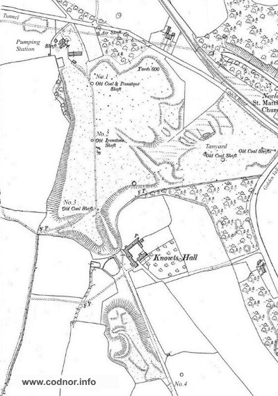
Fig.1 Map dated 1901 showing location of pumping station and abandoned Butterley Park shafts.
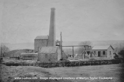
Butterley Park Pumping Station.
The Butterley Park Pumping Station is identified as New Close Engine House on John Wright’s map of 1828. It was located just off the Golden Valley to Ripley Coach Road close to Woollacot’s farm. A shaft was sunk in 1841-43 to the Ironstone seam at 125yds deep. The pumping station had a beam type pumping-engine that concentrated on draining the Butterley company South workings.
Water was pumped from the mine workings and into a sough, which drained into the nearby Butterley Tunnel on the Cromford Canal. A survey of the Butterley Tunnel in 1907 by Henry Eustace Mitton records at 13 chains (47ft 6 inch) from the Eastern portal, the mouth of an outlet from the Butterley Park pumping Station, 2ft 6in high and 3ft wide.
William Langton had been attending to some repairs to the pumping engine, but when it started the beam knocked him down a ladder on which he was standing, throwing him to the ground. He died a few days later on the 30th April.
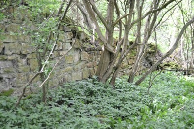
Fig.3 A stone retaining wall reaching 8ft high in places, at the side of the old tramway at the location of Butterley Park No.4 pit.
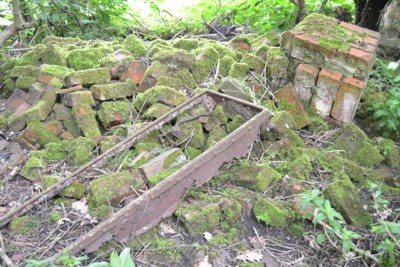
Fig.4 Rubble and remains of coal tub at the location of Butterley Park No.4 pit.
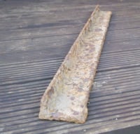
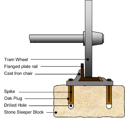
Fig.7 The cast lugs on either end of the plate rail suggest it was held in place by a rail chair similar to the one in the diagram above
Information for this page was obtained from the following sources.
The Coal Authority.200 Lichfield Lane,Mansfield,Nottinghamshire,NG18 4RG.
Durham Mining Museum website: http://www.dmm.org.uk/mindex.htm
My Village, by Joseph Millot Severn
